
Download
Select the grid tile/s (100km grid) - click to add additional tiles.
Data is supplied in georeferenced Geotiff format with associated metadata.
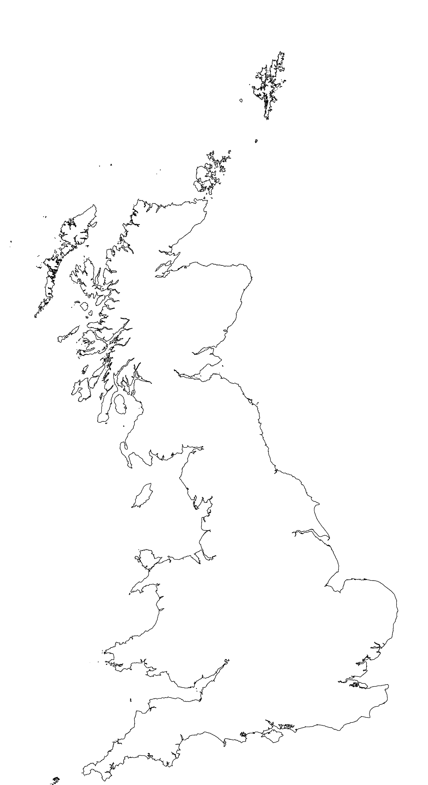
Tiles selected for download
Version 2-0 is a fully open version, with all input datasets and any derived output datasets being available for re-use under the Open Government Licence or Creative Commons Attribution 4.0 International licence.